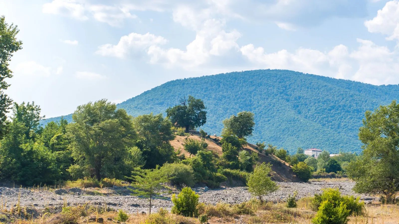
 Zulfugar Karimov · Pexels License
Itinerary · Asia · 14 days · Moderate
The Northern Villages
Baku→Ateshgah, Surakhani→Quba→Xınalıq→Köç Yolu, above Xınalıq→Laza+7 stops
Up the Greater Caucasus wall along Azerbaijan's northern rim, on shared taxis and mountain 4×4s: a village whose language belongs to no other branch of anything, a wholly Jewish town facing Quba across a river, coppersmiths still hammering in Lahıc, and the Albanian church at Kiş. Baku is two days at the start and then the road leaves it.
Baku, the oil-boom city
Skip the walled city for one day and read the other one. The streets north of the boulevard are lined with the mansions of the 1890s and 1900s - Baku was producing something close to half the world's oil by the end of the 1890s and the money went straight into limestone façades. The Ismailiyya, the Taghiyev house that is now the National History Museum, and Villa Petrolea out at Qara Şəhər, which the Nobel brothers built for their engineers with a garden shipped in as soil.
Absheron and the fires
A half-day loop out of the city. Ateshgah at Surakhani is a pentagon of eighteenth-century cells with Sanskrit and Punjabi inscriptions over the doorways, built for Indian merchants and ascetics around a natural gas vent that went out in 1969; the flame burning there now comes off the mains. Yanar Dag, north of the city, is the real thing - a strip of hillside that has been alight since the 1950s. Bibi-Heybat is not on the way back from either - it is ten kilometres the other side of the city, round the far shore of the bay - but it is where a well was drilled in 1846.
North to Quba
Three hours up the Caspian coast and then inland into orchards. Quba is an apple and carpet town on one bank of the Qudyalçay; on the other is Qırmızı Qəsəbə, settled by Mountain Jews under the protection of the Quba khans in the 1740s and Jewish ever since. It had thirteen synagogues before the Soviet period, two of which still function, and a museum in a third. Around three thousand people live there now; most of the money that keeps the houses standing comes from Moscow and Tel Aviv.
Up to Xınalıq
Fifty-seven kilometres and about two hours, most of it in the Qudyalçay canyon on a road that was not paved until the 2000s. The village sits at roughly 2,300 m on a spur with nothing above it, houses stacked so that one roof is the next family's yard, and dried dung stacked against the walls because there is no wood at this height. Its language, Khinalug, is its own branch of the Northeast Caucasian family and is spoken in this village and nowhere else on earth.
The Köç Yolu
A walking day out of the village along the migration route that UNESCO inscribed in September 2023 - the Köç Yolu, roughly 200 km of seasonal track linking the summer pastures above here to winter grazing on the central plain. Flocks move up it in spring and back down in autumn and have done for centuries. Walk out towards the yaylags and the shepherds' camps; ask in the village how far is sensible before you go, because the weather turns inside an hour.
Across to Laza
Down the canyon, through Quba, north to Qusar and then southwest up a different valley - a slow three and a half hours to cover not much map. Laza is a Lezgin village of stone houses under the Şahdağ wall, with waterfalls coming off the cliffs behind it. Şahdağ itself is 4,243 m (13,921 ft); Bazardüzü, the highest thing in the country at 4,466 m (14,652 ft), is on the Russian frontier to the west.
The long road to Şamaxı
The transfer day the route costs you: back down to the coast, round Baku and inland again, about 310 km and close to six hours with a stop - there is no road west out of the Quba side that gets you there without touching the capital. Break it at Beşbarmaq, the five-finger rock standing on its own beside the highway, which has been a pilgrimage site far longer than anyone has had a theology to explain it. Şamaxı at the end was the capital of Shirvan, flattened by earthquakes repeatedly, and after the one in 1859 the provincial capital was moved to Baku and never moved back.
Lahıc
Day 8–9 · 2 daysInto the Girdimançay gorge
Morning in Şamaxı for the Juma mosque, whose foundation is dated to 743 and which has been rebuilt after so many earthquakes that the fabric standing today comes from a reconstruction finished in 2013, and Yeddi Günbəz above the town - the Shirvan khans' burial ground, seven domes of which three are still standing. Then west and up the gorge to Lahıc, a stone village at about 1,375 m (4,510 ft) reached by a shelf road cut into the cliff.
Lahıc, the coppersmiths
One cobbled street, workshops open to it, and men beating trays and jugs over stumps with the door up - the craft went onto the UNESCO intangible heritage list in 2015 and is taught father to son rather than in any school. Look at the drains under the cobbles, which are medieval and still working, then walk out of the top of the village towards Zarnava for the view back down the gorge.
Nij and Qəbələ
Down out of the gorge and west across the foothills to Nij, the village where the Udi live. They are the surviving remnant of Caucasian Albania, the Christian kingdom that held this side of the range before the Arab conquest, and their language - perhaps seven thousand speakers worldwide, more of them in this village than anywhere else - is the closest living relative of the Albanian written in the old alphabet. The Jotari church in the village was restored in 2006 and is used.
Sheki
Two hours west along the foothill road. The Khan's Palace of 1797 is one building, not a complex, and the point of it is the shebeke: coloured glass held in a wooden lattice assembled without a single nail or drop of glue, thousands of pieces to a window. The historic centre went on the World Heritage List in 2019. Sleep in the eighteenth-century Yuxarı Karvansaray if there is a room - it is the one of the pair that still works as a hotel; the Aşağı caravanserai below it is larger and has been shut for restoration.
Kiş, and the workshops
Five kilometres up the hill, Kiş has a small stone church that a joint Norwegian-Azerbaijani project excavated between 2000 and 2003 at Thor Heyerdahl's prompting. The standing building is roughly tenth to twelfth century; radiocarbon dating put a worship site under the altar several thousand years earlier. Back in Sheki, find the shebeke workshop behind the palace and watch a window being cut, then eat piti, which is mutton in a clay pot and takes as long as it takes.
Qax and İlisu
An hour west into what used to be a Georgian-speaking corner - the villages around Qax still have Ingiloi communities and churches to match. İlisu, twelve kilometres up its own side valley, was the seat of a sultanate that held out against Russian annexation into the 1840s; the Ulu bridge and the Sumug qala tower house are what is left of it, and the road ends in beech forest.
Zaqatala
The last town on the northern road, under hazelnut orchards and enormous plane trees in the square, two of which are old enough to be individually protected. The Russian fortress of 1830 above the town held political prisoners including, briefly, mutineers from the battleship Potemkin. From here it is an hour west to the Lagodekhi crossing into Georgia, or a long day back to Baku.
Good to know
The ASAN e-visa is applied for online, costs USD 25 for standard processing in three working days - a USD 20 state duty plus a USD 5 service fee - and gives a single entry of up to 30 days, to be used within 90 days of issue. Print it, because officers ask for paper. Two political facts govern any Caucasus itinerary and are better read plainly than discovered at a border: the Azerbaijani-Armenian frontier is closed and has been since the early 1990s, so this route cannot be combined with Armenia except by flying or by looping through Georgia; and anyone who has entered Karabakh from the Armenian side can be refused entry and put on a permanent persona non grata list. A decree of July 2024 removed the declaration about it from the visa form, but the underlying rule stands, and travellers of Armenian descent are refused often enough - whatever passport they carry - that it is a thing to plan around rather than test at the airport. Stays longer than fifteen days require registration with the State Migration Service, usually done by your accommodation - ask, and keep the confirmation. The mountain roads are the practical constraint: the Xınalıq road can close with snow from roughly November into April and the drivers in Quba will tell you honestly whether it is open, while the high ground west of Laza runs into the Dagestan watershed, which is a controlled border zone where guards do check papers, so ask locally before walking that way. Long-distance shared taxis leave when they are full rather than on a timetable, and Baku dispatches northern and western services from different yards, so establish which one you need before crossing the city. Cards work in Baku and in Sheki; carry manat in cash everywhere else, and small notes in the villages.
Shorter or longer?
Five more days from Baku down the Caspian shore to Lankaran, the Hyrcanian forest in Hirkan National Park, and the Talysh villages above Lerik - a subtropical, Talysh-speaking corner that has nothing in common with the north except the country it is in.
Baku, Absheron, Quba, Xınalıq and a day on the Köç Yolu, then one long transfer across to Sheki and Kiş. Keeps the highest village and the best building; loses Laza, Şamaxı and Lahıc, and trades the route's two long road days for one - the jump from Quba to Sheki still runs back past Baku and takes the whole day.
Practical guide
Visa check for this route
Budget
Mid-range · per person · sharing a double room. Excludes international flights - they depend on where you fly from.
Editorial estimates · checked August 2026
Country guides
Trip essentials
The connectivity placement is our own eSIM store. No affiliate link on this list. How we choose these →