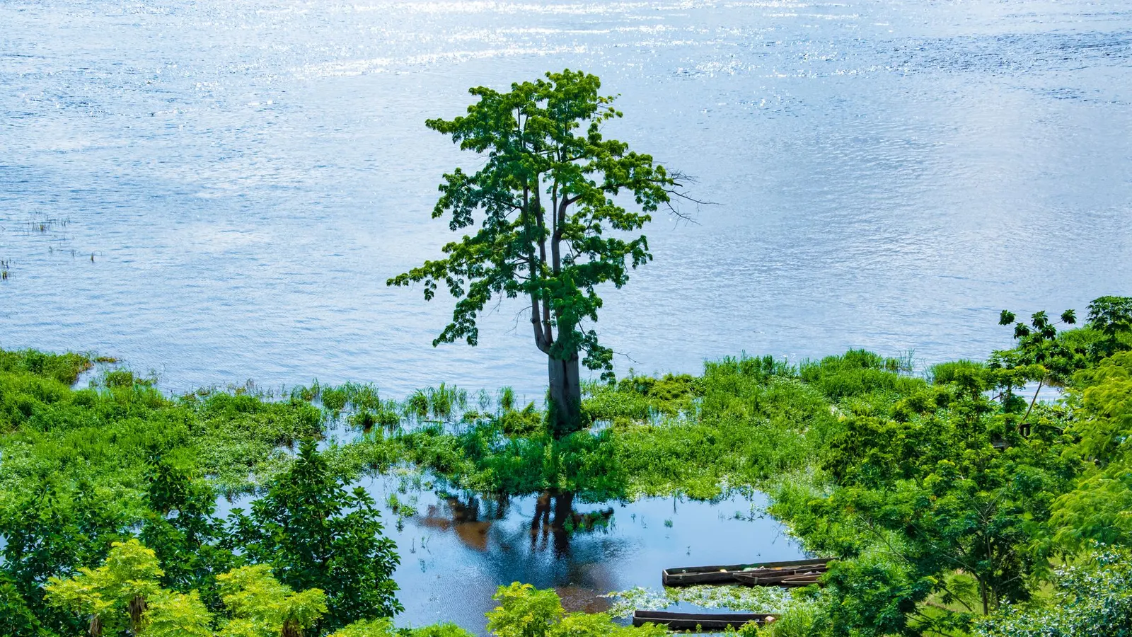
 Gis photography · Pexels License
Itinerary · Africa · 11 days · Challenging
The Lower Congo
Kinshasa→Lola ya Bonobo, Kimwenza→Kisantu→Chutes de Zongo→Mbanza-Ngungu→Matadi+5 stops
Advisory - travel not recommended · checked 26 Sept 2026
Democratic Republic of the Congo
Foreign ministries advise against all travel to eastern DRC - North Kivu, South Kivu and Ituri - where armed groups including M23 operate and Goma has changed hands. Virunga National Park has been closed to tourism since December 2024. Since May 2026 an Ebola outbreak declared a global health emergency has spread from Ituri into the Kivus, and the US and Australia advise against all travel to the whole country, Kinshasa included. Standard scores are suspended while this alert is active.
Official advisory →Every advisory in force →Read the advisory first: foreign ministries advise against all travel to North Kivu, South Kivu and Ituri, and against all but essential travel to most of the rest of the country. This route does not enter the east at any point, which means it leaves out Virunga, the gorillas and Nyiragongo - everything the DRC is best known for - deliberately rather than by accident. What remains is the lower Congo west of the capital: Kinshasa, the botanical garden at Kisantu, the Inkisi falls, the caves at Mbanza-Ngungu, the rapids and turbines at Inga, the old capital at Boma and the mangroves at the river's mouth. It is published for the day the advisories ease, and for the small number of people who are going west regardless - not as an invitation to travel now.
Kinshasa
Arrive at Ndjili, and give the first day to the paperwork and the city rather than to a drive. Immigration keeps foreign arrivals longer than you expect and the yellow fever card is checked before the passport is. The National Museum on Mont Ngaliema opened in its current building in 2019 and holds a collection that was, until then, mostly in storage; the Académie des Beaux-Arts a few kilometres away is a working art school you can walk into. Learn the photography rule on day one rather than day six: the riverfront facing Brazzaville, the port, the airport, bridges, uniforms and government buildings are all off limits, and people are detained for far less than a raised phone.
Bonobos, and the Pool
South out of the city to Lola ya Bonobo at Kimwenza, a sanctuary holding around sixty orphaned bonobos in forest enclosures beside the Lukaya. Bonobos live only in the DRC and only south of the Congo river, which is the single fact the place is built around. Back into town for the afternoon: Malebo Pool is where the river slows into something the width of a lake before it drops into the falls, and Brazzaville is on the far side of it, visible on a clear day. Evening is rumba, inscribed by UNESCO in December 2021 on a joint Congolese and Congo-Brazzaville nomination, and still the thing the city does better than anywhere.
South-west to Kisantu
Onto the RN1, which is the country's import artery and behaves like one - tarred, busy and lined with lorries running up from Matadi. Kisantu's botanical garden was begun in 1900 by a Jesuit brother, Justin Gillet, as a working collection of what would and would not grow here, and it covers something like 225 hectares of avenues, ponds and specimen trees a century older than the road you drove in on. It is quiet, cheap and maintained on very little. The brick church in the town is the other reason people stop.
Zongo Falls
North-west off the main road onto laterite, and the drive is longer than the map suggests in any month. The Inkisi comes over a lip about sixty-five metres high in a single curtain and the spray reaches the path; there is a lodge above it and a set of steps down to the pool. This is a weekend destination for Kinshasa rather than a wilderness, which is the point - it is one of the few places on this route where you will be among Congolese visitors rather than a curiosity. After heavy rain the track in is the problem, not the falls.
Mbanza-Ngungu
South from the falls - or west along the RN1 if you slept back at Kisantu - to the old railway town on the Matadi–Kinshasa line, sitting high enough at around 700 metres that the nights are cool and the town grew orchids commercially for it. The limestone caves outside are the reason to stop: they hold Caecobarbus geertsi, a blind cave fish found in this small block of karst and nowhere else on earth, protected under Congolese law and listed by CITES. You need a local guide and a torch, and you should not touch the water. The station buildings and the rail alignment through town are worth the walk, from a distance and without a camera pointed at them.
Down to Matadi
The RN1 drops off the Crystal Mountains through Kimpese and the air thickens as you lose the altitude. Matadi is built on rock above the last navigable water on the Congo - ocean ships come 148 kilometres up from the Atlantic and stop here, because above the town the Livingstone Falls begin and the river is finished as a route to the sea. The Pont Maréchal, opened in 1983 with a main span of 722 metres, was the longest suspension bridge in Africa when it was built and is still the only road crossing of the lower Congo. Look at it, do not photograph it, and do not photograph the port either.
Inga
Forty kilometres upriver from Matadi the Congo swings through a horseshoe and falls about a hundred metres in a series of rapids carrying, on average, more water than any river on earth except the Amazon. Two power stations sit on a diversion channel beside it: Inga I, commissioned in 1972 at 351 megawatts, and Inga II, 1,424 megawatts, from 1982. Between them they are the largest generating capacity in the country, and for long stretches fewer than half the fourteen turbines have actually been available. A visit is not a walk-up - it needs written permission from SNEL arranged weeks in advance through a Congolese contact, and without it you will be stopped well short of the site.
Boma
West along the north bank. Boma was the capital of the Congo Free State and then of the Belgian Congo from 1886 until Léopoldville took the title in 1926, and what is left is an unusual streetscape of prefabricated iron and timber buildings shipped out from Belgium and bolted together on site, several of them still in use as offices. The baobab on the ridge with a hollow trunk is the town's fixed photograph. The port below is still working and still off limits to a lens.
Muanda and Banana
The last hundred and twenty kilometres to the Atlantic, on a road that has been rebuilt in parts and not in others. Muanda is an oil town - the offshore fields have been producing since the 1970s and the installations are the reason the coast has a road at all. At Banana, on the spit at the river mouth, the DRC is building its first deepwater port, in a joint venture with DP World signed in 2022 and under construction since 2023. It is the most consequential thing being built in this province and it is a working site, so you look at it from the road. The beach at Muanda is where the country swims.
The mangrove park
A day on the water. The Parc Marin des Mangroves runs along the north bank of the estuary and was designated a Ramsar site in 1996 - the country's only marine protected area, and the only stretch of the DRC that touches the sea. Go out by pirogue from Nsiamfumu with a guide arranged through the ICCN office in Muanda. West African manatee are present and almost never seen; what you will see is a great deal of birdlife, fishing camps built on stilts, and the point where the Congo, after four and a half thousand kilometres, turns the Atlantic brown for eighty kilometres offshore.
Back up the RN1
The whole of the lower Congo in one run: Boma, Matadi, the climb through Kimpese and Mbanza-Ngungu, and into Kinshasa in the dark if you have been unlucky. Five hundred and ninety kilometres, eleven to thirteen hours with a driver, and only worth attempting in a single day if you leave at first light and accept that the lorry traffic on the escarpment decides your arrival time rather than you do. If a Muanda–Kinshasa flight is scheduled the week you travel, take it and give the day back to the city.
Good to know
Start with the advisory, because it decides the shape of everything below. Foreign ministries advise against all travel to North Kivu, South Kivu and Ituri, where armed groups including M23 operate and Goma has changed hands, and against all but essential travel to much of the rest of the country. Virunga has suspended tourism repeatedly and its status has changed within weeks more than once, so a trip built around a US$400 gorilla permit or the Nyiragongo climb is a trip built on something that may not exist on the day you fly. This route goes nowhere near any of it. The west is not safe by comparison - it is less dangerous in a different way, with serious urban crime in Kinshasa, and travelling here at all means travelling against at least part of your own government's advice, which in practice voids most travel insurance. Check your own ministry the week you travel rather than the month you book. On the mechanics: almost everyone needs a visa arranged before departure. There is an official online portal, and many nationalities are still asked for a letter of invitation from a Congolese host, company or hotel, so start six to eight weeks out and expect the fee and the process to have changed since the last account you read. A yellow fever certificate is mandatory for arriving travellers from infancy up - check the exact age threshold with your own clinic - and it is inspected at Ndjili before immigration: no certificate, no entry. Malaria is year-round, falciparum and chloroquine-resistant across the whole country including Kinshasa; take prophylaxis for the entire trip. Money is US dollars in cash, and they must be clean: unmarked, untorn, and printed from about 2013 onwards, because older or damaged notes are simply refused. Carry Congolese francs for small purchases, expect cards to work in perhaps three Kinshasa hotels and nowhere else, and do not plan around an ATM outside Kinshasa. Photography is the rule most visitors break and it is the one with teeth: bridges, ports, airports, military and police, government buildings and the riverfront facing Brazzaville are all prohibited, the Pont Maréchal and the Boma and Banana port areas are exactly the kind of subject that leads to a detention, and an autorisation de prise de vues from the Ministry of Communication and Media is worth obtaining before you go. Independent travel is legal and, on this route, unrealistic. You want a Congolese fixer with a vehicle and a driver at minimum: checkpoints on the RN1 and around Matadi are frequent, the questions are administrative rather than hostile, and someone who knows the officials resolves in five minutes what costs a foreigner alone half a day and a negotiated fine. Self-drive is not a sensible option. The Inga visit needs written SNEL permission arranged in advance; the mangrove park needs the ICCN office in Muanda; both fall apart without a local contact. Seasons: this is south of the equator, so the rains run roughly October to mid-May and the dry season from June to September, which is when the laterite off the RN1 - the Zongo track especially - is passable without drama. French is the working language, with Lingala in Kinshasa and Kikongo through Kongo Central; English will not get you through a checkpoint. Finally, do not move between towns after dark anywhere on this route, and do not treat the security picture in the west as fixed - it is better than the east, which is a low bar, not a reassurance.
Shorter or longer?
Add two to four weeks, honestly counted. Barges and pushed convoys leave Kinshasa upriver for Mbandaka and Kisangani with no timetable at all - they go when they are loaded, and the trip has taken anything from ten days to over a month depending on water levels and breakdowns. You sleep on deck among several hundred traders, you buy what you eat from pirogues that come alongside, and you cannot book a return date. It is the most rewarding travel in the country and it is not compatible with a fixed flight home.
Kinshasa, Kisantu, Zongo, Mbanza-Ngungu and back. Keeps the garden, the falls, the caves and the escarpment; drops Matadi, Inga, Boma and the coast, which is where most of the driving and most of the paperwork is.
Practical guide
Visa check for this route
Budget
Mid-range · per person · sharing a double room. Excludes international flights - they depend on where you fly from.
Editorial estimates · checked August 2026
Country guides
Trip essentials
The connectivity placement is our own eSIM store. No affiliate link on this list. How we choose these →