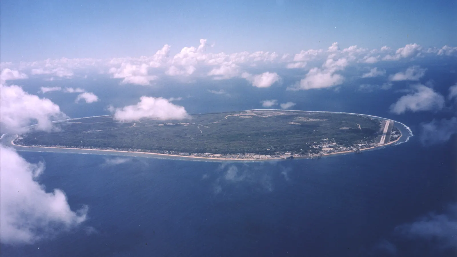
 U.S. Department of Energy's Atmospheric Radiation Measurement Program · Public domain
Itinerary · Oceania · 10 days · Moderate
Three States Down the Island Hopper
Weno, Chuuk→Fujikawa Maru, Chuuk Lagoon→Tonoas (Dublon), Chuuk Lagoon→Kolonia, Pohnpei→Nan Madol, Temwen Island→Sokehs Ridge, Pohnpei+4 stops
The Federated States of Micronesia is 2,700 kilometres (1,680 miles) wide and there is one aircraft that stitches it together. This route arrives from Guam and rides the United island hopper eastward in the order it flies - Chuuk for the fleet sunk in the lagoon in February 1944, Pohnpei for the basalt city built on a reef, Kosrae for the walled ruins at Lelu and a reef where anchoring was replaced by moorings. Ten days, three states, two domestic legs, and Yap left out because reaching it means going back through Guam.
Weno, Chuuk
The hopper puts down on Weno and the state that meets you is the poorest and the most complicated in the country. Chuuk holds close to half the national population on islands inside a lagoon roughly sixty kilometres (37 miles) across, and its recent history is written on the hills above the town: the Japanese lighthouse on the ridge behind Nepukos, still with its lens housing; the concrete blockhouse below the airport road; and Xavier High School, built by the Japanese navy as a communications centre and reopened by Jesuits in 1952, which is why the best school in the country is a bunker. Buy the dive permit before anything else - it is issued by the state Historic Preservation Office and every operator will ask for it.
The shallow wrecks
Operation Hailstone ran for two days in February 1944 and left somewhere between forty and sixty vessels on the floor of the lagoon, depending on how you count small craft. The Fujikawa Maru is the one everybody dives first: an aircraft ferry sitting upright in about thirty-four metres, main deck around eighteen, masts and superstructure within ten of the surface, and Zero fuselages stacked in the second hold. The Shinkoku Maru was a fleet oiler and had refuelled the carriers on their way to Pearl Harbor in December 1941; she is now the most heavily overgrown hull in the lagoon, soft coral to the rail. These are war graves and they are treated as such - remains are still aboard, nothing may be moved or lifted, and the holds hold live ordnance.
Tonoas, and what is below sport depth
Tonoas - Dublon on the old charts - was the Japanese Fourth Fleet headquarters and the administrative centre of the whole lagoon, with a hospital, a submarine base and a town of several thousand service personnel. What is left is foundations, tunnels and gun positions being pulled apart by roots, with villages living among them - all of it on land somebody owns and farms, so you go with a boatman who is from Tonoas and you ask before you walk in, which is arranged the day before rather than on the beach. In the afternoon, the honest conversation about the deep wrecks: the San Francisco Maru has three light tanks on her foredeck and a deck at about fifty metres, and she is a technical dive with decompression obligations, not an ambitious recreational one. There is a recompression chamber in Chuuk; confirm it is actually working before you plan around it.
Kolonia, Pohnpei
Eighty minutes east and the landscape changes completely - a single high volcanic island, forested to the ridgelines, wrapped in mangrove. Kolonia was the colonial town under three flags and each left one building: the Spanish wall of Fort Alfonso XIII, begun in 1887; the German bell tower of a Catholic church from 1909; and Japanese foundations under half the shops. The capital is not here - it moved to Palikir, in the hills to the west, in 1989. Finish in a nahs with sakau, the local kava, pounded on a basalt stone and strained through hibiscus bark. It is not a performance; it is what the evening is.
Nan Madol
About ninety-two artificial islets built on a reef flat off Temwen Island out of columnar basalt logs, quarried elsewhere on Pohnpei and floated or rafted here from around 1180 onwards - a city with canals for streets, and at Nandauwas a mortuary enclosure whose walls still stand more than seven metres high. It was the seat of the Saudeleur dynasty until Isokelekel broke them in about 1628, after which the islets emptied slowly rather than at once - they were still in ceremonial use into the eighteenth century and abandoned by the 1820s. UNESCO inscribed it in 2016 and placed it on the List of World Heritage in Danger the same day, because mangrove is prising the walls apart faster than anyone is putting them back. The site sits on land held under the Nahnmwarki of Madolenihmw and the entrance fee is paid to him, not to a ministry. Go at high tide and go by boat; at low water the channels are mud.
Sokehs, and the road round the island
Sokehs Rock is a basalt monolith of about two hundred metres (660 feet) standing over the harbour, and the ridge behind it is the darkest ground in the country. The people of Sokehs rose against the German administration in October 1910 over forced labour and flogging; the rebellion was put down, seventeen men were shot by firing squad on 24 February 1911, and most of the surviving population was deported to the phosphate workings in Palau. Japanese coastal guns from a later occupation sit on the same ridge, barrels still traversing. Then the circumferential road: Kepirohi falls in Madolenihmw drop about twenty metres over a wall of hexagonal basalt, a small fee to the landowner, and the drive shows you why nobody farms the interior.
Ant Atoll
An hour by boat to the atoll thirteen kilometres (8 miles) off Pohnpei's south-west coast - a dozen or so islets round a lagoon, seabird colonies, and reef in far better condition than anything within reach of Kolonia. It is a biosphere reserve and it is also customary land held under the Nahnmwarki of Kitti, so the trip is arranged through people who can ask on your behalf and the answer is occasionally no. Take everything you need; there is nothing on the atoll but a caretaker's house. The crossing is exposed and the boats do not go in a swell, which is the standing reason to keep this day flexible.
Lelu, Kosrae
An hour further east and into the quietest state in the federation - about six and a half thousand people on one mountainous island with a road most of the way round it. Lelu, joined to the main island by a causeway, holds the walled compounds of the Kosraean paramount chiefs: basalt logs stacked into walls up to six metres high, laid out in the thirteenth and fourteenth centuries, with tomb enclosures and canals still readable under the breadfruit. It is a residential village built inside an archaeological site, so you walk it with somebody local and you knock before you photograph a wall that forms part of somebody's garden.
The reef
Kosrae's hard coral is in better condition than almost anything else in the region, and the reason is administrative rather than lucky: moorings were installed along the drop-offs and anchoring on the reef was stopped. Hiroshi Point and Shark Island are the wall dives, and in the drier months visibility past thirty metres (100 feet) is ordinary rather than remarkable. The diving sits here, and not on the last day, on purpose: the standard rule is a surface interval of at least eighteen hours before flying, and a diver who breaks it on Kosrae is a long way from the chamber in Chuuk. Sunday is a shutdown in the fullest sense - no boats, no shops, no diving, and the churches are where everybody is - so work out which day you have landed on before you book anything.
Utwe, the mangrove channels and Menke, then out
The south coast is the reason Kosrae is worth three days, and it makes a last day that puts nothing deeper than a paddle in the water. Utwe-Walung has been run as a community marine park since 2000 and the mangrove channels behind it are paddled rather than driven - a canoe route through tunnels of root and water that comes out at the reef. Bully Hayes, the blackbirder, lost his brig Leonora in Utwe harbour in March 1874 and the wreck is still on the bottom in shallow water. Inland, Menke is a hilltop of overgrown basalt platforms associated with Sinlaku, the breadfruit goddess, reached by a wet and leech-prone walk up the Finkol valley with a guide who is arranged the day before, not on the morning. The Yela valley is a different place and a different arrangement - it is on the north-west side in Tafunsak, it holds the last intact stand of ka trees anywhere, and it stands because the landowning families signed a conservation easement rather than because any government protected it.
Good to know
The island hopper is the itinerary and everything else bends to it. United flies one Boeing 737 on the Honolulu–Majuro–Kwajalein–Kosrae–Pohnpei–Chuuk–Guam line and back, a few days a week rather than daily, and it is the only scheduled way to move between the states - there is no second carrier, no ferry and no realistic fallback. A missed connection or a technical cancellation costs days, not hours, so book the domestic legs the moment your dates are fixed, keep two spare days in front of the international flight, and do not schedule a dive on a departure day. Yap is not on this line at all: it is served from Guam, a few times a week, which is why adding it means flying back west rather than continuing east. Most nationalities are admitted visa-free for thirty days on arrival with an onward ticket; citizens of the United States, the Marshall Islands and Palau enter and may stay under the Compact of Free Association. Each state also sets its own rules on top of the national ones, and Chuuk's dive permit is the one that catches people - it comes from the state Historic Preservation Office and no operator will take you without it. The currency is the US dollar and this is a cash economy: there are ATMs in Weno, Kolonia and Tofol and nowhere else, hotels and dive shops take cards and almost nothing else does, and small denominations matter. Chuuk State has prohibited the sale of alcohol for decades; the law is real, the observance is imperfect, and a visitor arguing about it is a visitor with a problem. Land, reef and archaeological sites are customarily owned throughout the country, which is not a formality - Nan Madol's entrance fee is paid to the Nahnmwarki of Madolenihmw, Ant Atoll is visited by permission of the Nahnmwarki of Kitti, and on Kosrae and Chuuk the difference between a path and somebody's garden is not signposted. The Chuuk wrecks are war graves under both Chuuk state law and Japanese practice: human remains are aboard, artefacts may not be moved or lifted, and the holds contain live ordnance including depth charges and aircraft bombs. Several of the famous hulls sit below fifty metres and are technical dives with real decompression obligations; there is a chamber in Chuuk but confirm it is operational before you commit to depth, because the alternative is an evacuation to Guam. December to April is the drier half and the diving season, with the best visibility of the year; May to November is wetter and cheaper. Pohnpei rains regardless - the interior is among the wettest measured places on earth, in the order of seven and a half metres of rain a year, and a fortnight there without a downpour has never happened to anyone. Chuuk and Yap sit in the typhoon belt and Pohnpei and Kosrae are close enough to the equator to be mostly spared; Typhoon Maysak crossed Chuuk on 29 March 2015 and killed five people, which is the sort of event that ends a trip rather than delays it. There is no malaria and dengue circulates; hospital care in all three states is basic and anything serious is an air evacuation to Guam or Honolulu, so insurance with evacuation cover and, for divers, chamber cover is not optional. FSM Telecom sells SIMs in the state centres and a submarine cable has made the main islands usable; assume nothing beyond them. Finally, the cost: three states in ten days will run to something like three and a half thousand euros before international flights, which is more than a month in South-East Asia. Pretending otherwise is the standard mistake made about this part of the Pacific.
Shorter or longer?
Five more days and a return leg west. United flies Guam–Yap a few times a week, so Yap cannot be slotted between Chuuk and Pohnpei - it is a separate arc from the hub. What you get for the backtrack is the one state that never stopped: rai stone discs up to four metres across still changing hands in ceremonial exchange, stone-paved paths between villages, men's houses that visitors enter only when invited, and manta cleaning stations in the channels that are among the most reliable in the world. Village permission and a small gift are expected, and are arranged for you rather than by you.
Chuuk and Pohnpei only - the lagoon, Tonoas, Kolonia, Nan Madol and Sokehs - with a single domestic leg between them. It halves the exposure to the hopper schedule and cuts several hundred euros off the fare line. What you lose is Kosrae, and with it the best reef and the quietest week of the trip.
Practical guide
Visa check for this route
Budget
Mid-range · per person · sharing a double room. Excludes international flights - they depend on where you fly from.
Editorial estimates · checked August 2026
Country guides
Trip essentials
The connectivity placement is our own eSIM store. No affiliate link on this list. How we choose these →