 Ramon Karolan · Pexels License
Itinerary · Europe · 13 days · Moderate
Two Lakes and the Vardar
Old Bazaar, Skopje→Macedonia Square, Skopje→Matka Canyon→Kratovo→Tetovo→Mavrovo+7 stops
A slow loop round a country you can cross in three hours - a Bronze Age hilltop of cut sightlines with nobody guarding it, the Ottoman bazaar the 1963 earthquake left standing, a mountain that one lake drains through to reach another, a church frescoed in 1191 whose key is kept in the village, and the town where a republic lasted ten days in 1903.
Skopje, the part that survived
Start in the Čaršija, the largest Ottoman bazaar left in the Balkans outside Istanbul and the quarter that came through the 1963 earthquake in better shape than the modern city below it. Mustafa Pasha's mosque of 1492, the Daut Pasha hammam that now hangs paintings, the Kuršumli caravanserai, and the Kale fortress above them all. Cross the Stone Bridge at the end of the day, when everyone else does.
Skopje, the two rebuildings
The City Museum occupies the wrecked half of the old railway station, its clock stopped at 5.17. Walk from there to Janko Konstantinov's concrete post office, up to the Museum of Contemporary Art - Poland gave the building and the architects, artists and institutions around the world gave the collection - and then into Macedonia Square, where a €600-million programme of neoclassical facades and bronze statues went up between 2010 and 2014 over the top of all of it. The two cities are about four hundred metres apart.
Matka and Nerezi
Half an hour west to the Treska gorge, dammed in 1938 and now a reservoir with a footpath cut into the cliff above it. Boats run up to the Vrelo cave, where divers have gone past two hundred metres without finding the bottom. On the way back, stop at Nerezi on the flank of Vodno: a small church of 1164 whose Lamentation fresco is one of the paintings Byzantine art history is built on, and it is almost always empty.
Kratovo and Kokino
North-east into the old lead and silver country. Kratovo sits inside a volcanic crater with medieval stone towers still standing in it. Nearby, the earth pillars at Kuklica are a field of eroded columns the villagers call the wedding party. Kokino is the reason to come: cut markers in volcanic rock on an open hilltop, dated by the excavated pottery to around 1800 BC. The reading promoted by the national museum is that the seats and notches line up with solstice and equinox sunrises over the eastern ridge, and archaeologists who work on it are not unanimous that "observatory" is the right word for what a Bronze Age community was doing here - go at dawn and judge the alignments yourself. No gate, no ticket office and nothing at all to buy.
Tetovo and the Šar
West across the country to the Polog valley. The Šarena Džamija, founded in 1438 and rebuilt in 1833, is painted inside and out in floral panels that look like nothing else in Islamic architecture in Europe. The Arabati Baba tekke down the road is one of the largest surviving Bektashi complexes in the Balkans and has been the subject of a long ownership dispute between the Bektashi community and the official Islamic authority. Then the road up to Popova Šapka, inside a national park only declared in 2021.
Mavrovo, Bigorski and Galičnik
South to Mavrovo, where a valley was flooded for a hydro scheme in the 1950s - Matka, two days ago, is the older dam. The church of Sveti Nikola at Mavrovi Anovi went under with the village and stands in the water with its roof gone; in a dry summer the level drops far enough to walk out to it. Bigorski monastery, above the Radika gorge, holds a walnut iconostasis cut by a Mijak workshop and finished in 1835 - figures in three dimensions, which is not what Orthodox carving normally does. Galičnik, an hour up a switchback, has stone houses for several hundred people and a permanent population you can count.
Debar, Vevčani, and down to Ohrid
The Radika road runs down to Debar on the Albanian border, then south along the reservoir. Vevčani, on the last slope before the lake, has springs coming out of the hillside in the middle of the village and a carnival on 13 and 14 January, the eve of the Julian new year, which the village dates to pagan practice and which has been described in something close to its present form since the nineteenth century. Ohrid is another forty minutes, and you will see the lake before you see the town.
Ohrid
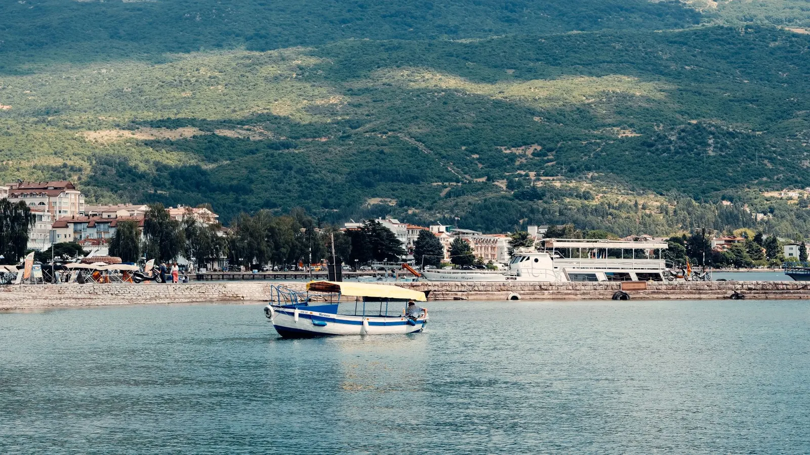
Sveta Sofija for eleventh-century frescoes, Plaošnik for the foundations of Clement's school of 893, the icon gallery for panels that survived because they were hidden, and Sveti Jovan Kaneo on its rock because you will go anyway. The lake underneath is the oldest in Europe - a core drilled through its floor put the origin at around 1.4 million years, revising down the two-to-three-million figure still printed on most signboards - and it holds over two hundred species found nowhere else; UNESCO has repeatedly warned that shoreline construction could put the site on its danger list.
Sveti Naum and over Galičica
Down the shore to Sveti Naum, founded in 905, where springs push out of the ground beside the monastery. That water fell as rain on Lake Prespa, about 150 metres higher, and travelled through the karst of the Galičica massif to arrive here - the two lakes are one system with a mountain in between. Drive over the pass to see the other end of it. Boats go out from Stenje or Konjsko to Golem Grad, an island of Roman ruins, cormorants and a large number of water snakes.
Kurbinovo, then Bitola
The church of Sveti Gjorgi at Kurbinovo sits alone above the eastern shore, is dated by its own inscription to 1191, and is locked - the key lives in the village and finding its holder is the visit. Resen next, where an Ottoman officer built a French-looking palace and then launched the Young Turk revolt from this town in 1908. Bitola in the afternoon: the consulates that gave the town its nickname, the European shopfronts that consular and merchant families raised along Širok Sokak in the last Ottoman decades - the place was Ottoman until 1912 and never Habsburg, whatever the facades imply - and the military school Atatürk attended.
Heraclea, Pelister, Kruševo
Heraclea Lyncestis is two kilometres south of the centre, half an hour on foot - a city Philip II founded in the fourth century BC, best known now for sixth-century AD basilica floors laid with animals and trees in mosaic. Then up into Pelister, the country's first national park, declared in 1948 to protect the molika pine that grows on this range and few others. Finish at Kruševo, at about 1,350 metres the highest town in the country and the centre of its Aromanian community - a fifth or so of the municipality, enough that Aromanian is co-official here alongside Macedonian.
Prilep and Treskavec
The Ilinden rising began on 2 August 1903 and Kruševo held for about ten days before Ottoman troops retook and burned it; the Makedonium, a set of white concrete pods built in 1974, is what the country put on the hill afterwards. Drive on to Prilep, a tobacco town in a field of granite boulders, and take the rough track - or the two-hour walk from Dabnica - up to Treskavec monastery at about 1,280 metres. Fire gutted the living quarters in 2013 and the church came through it.
Stobi, Tikveš and back
East to the Vardar. Stobi stood where the Crna joins it, was a provincial capital in late antiquity, and has a theatre and a great deal of mosaic floor. Tikveš beyond it is the country's wine country - the largest cellar dates from 1885 - and the Demir Kapija gorge below holds the national temperature record and is reliably the hottest place in the country in August. The motorway runs back to Skopje in about an hour.
Good to know
The currency is the denar, pegged to the euro at roughly 61.5, and the peg means the rate you are quoted is the rate - cards work in the cities and at petrol stations and nowhere at all in a village, at a monastery donation box or at Kokino, which has no facilities of any kind. Hiring a car is the route: intercity buses cover Skopje to Ohrid, Bitola, Tetovo and Strumica several times a day, but nothing scheduled goes to Galičnik, Kokino, Kurbinovo or Treskavec. If you intend to cross into Albania, Kosovo, Greece, Bulgaria or Serbia, say so when booking - a Green Card and written authorisation from the hire company are needed, several firms refuse Albania outright, and the paperwork cannot be arranged at the border. The high road over the Galičica pass between Sveti Naum and Stenje is narrow, part-unsurfaced and shut by snow in winter; the paved alternative runs north through Resen and adds an hour. Village churches on this route are normally locked, Kurbinovo included, and the key is held by a named person nearby, so arrive in the middle of the day rather than at dusk and expect to ask three people. Galičnik empties out except for the weekend nearest 12 July, when the wedding festival fills every bed for fifty kilometres and needs booking months ahead. Monasteries want covered shoulders and knees and several offer rooms, but they close their gates early. Two seasonal warnings: the Vardar valley and Demir Kapija regularly pass 40°C in July and August, when the mountains are the only sensible place to be, and Tetovo and Skopje sit under some of the worst winter air pollution in Europe from about November to February, when domestic heating and a valley inversion combine - if you have a respiratory condition, that is a reason to come in another season.
Shorter or longer?
Add four days after Tikveš for Štip, Strumica - the eleventh-century monasteries at Veljusa and Vodoča are the reason, not the town - and the Kolešino falls under Belasica, then up into the Maleševo hills at Berovo: pine forest at around 800 metres, a reservoir, sheep cheese, and the quietest of the Bulgarian border crossings on the far side.
Skopje, Mavrovo, Ohrid and Bitola only. Keeps the bazaar, the iconostasis, the lake and the mosaics; loses Kokino and Kratovo, Prespa and all of Pelagonia's monasteries.
Practical guide
Visa check for this route
Budget
Mid-range · per person · sharing a double room. Excludes international flights - they depend on where you fly from.
Editorial estimates · checked August 2026
Country guides
Trip essentials
The connectivity placement is our own eSIM store. No affiliate link on this list. How we choose these →