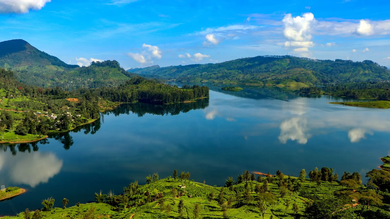
 Anas Mohamed Nuski · Pexels License
Itinerary · Asia · 14 days · Moderate
The Other Monsoon
Colombo→Wilpattu National Park→Mannar→Talaimannar→Jaffna→Point Pedro+8 stops
Sri Lanka runs two monsoons on opposite schedules, and this is the half of the island that is dry when the postcard half is not. Fourteen days up the north-west coast to Jaffna and the ferry islands, then down the east through Trincomalee and Batticaloa to Arugam Bay - country that was largely off the map for a quarter of a century and still takes a small fraction of the traffic.
Colombo
Half a day is enough before heading north. Pettah market, the Wolvendaal church of 1749 above it, and Galle Face Green at dusk with everyone else. Buy the northern-line train ticket now if you intend to come back by rail, because the reserved seats go early.
Wilpattu
North to the oldest and largest national park on the island. Wilpattu means the land of lakes and the villus - natural sand-rimmed hollows that fill with rainwater - are what the whole ecosystem turns on. It was effectively shut for most of the war and only properly reopened in 2010, which is why leopard sightings here come without a queue of twenty jeeps attached.
Mannar
A causeway onto a low, hot, windy island. The fort at the causeway head was Portuguese from 1560 and rebuilt by the Dutch in 1696 after they took it in 1658; Thiruketheeswaram, ten kilometres back across the causeway at Mantai, is one of the five ancient Shiva temples on the island. Then the baobabs, which grow nowhere else in Sri Lanka in these numbers and arrived with traders from East Africa several centuries ago.
Talaimannar and the sandbanks
The road runs to the western tip and stops at a pier where ferries left for Rameswaram until 1984. Beyond it the chain of shoals to India was declared the Adam's Bridge Marine National Park in 2015; boats go out from the beach with navy clearance and only in settled weather. Behind you stand the thirty turbines of the Thambapavani wind farm, which came onto the grid across 2020 and 2021 on one of the busiest bird migration corridors in South Asia, which is the argument here.
North to Jaffna
Up the A32 along the coast and over the Sangupiddy bridge, which opened in 2011 and cut hours off this drive. Jaffna is a Tamil city with its own food, its own churches and a fort the Portuguese began in 1618 and the Dutch made pentagonal. The public library, burned on the nights of 31 May and 1 June 1981 with something like ninety-seven thousand volumes inside it, was rebuilt and reopened to the public in 2003 and is the first thing most residents will point you to.
The peninsula
Flat palmyra country and short distances. Point Pedro is the northernmost place in the country; Keerimalai is a freshwater spring walled off from the sea beside a temple; Kankesanthurai has land coming back into civilian use in stages from a military zone that covered much of the north of the peninsula. Buy palmyra jaggery and a bottle of nelli crush on the way round.
Nainativu and Delft
Causeways west to Punkudutivu, then the government ferry. Nainativu carries a Buddhist vihara and a Hindu Amman temple a few hundred metres apart and busy on the same morning. Delft is a second sailing from the same Kurikadduwan jetty, an hour each way rather than the twenty minutes to Nainativu, and it has walls built of coral block, a Dutch dovecote, a baobab, and ponies running loose that are descended from Dutch stock. There is almost nowhere to sleep, so the afternoon boat is not optional.
Elephant Pass and Mullaitivu
South down the A9 across the isthmus at Elephant Pass, which is about a kilometre wide and is why the peninsula was worth so much to both sides, then east through Kilinochchi to the coast. The war ended on the Nandikadal lagoon on 18 May 2009 and the shoreline north of it is where the last civilians were held. There are memorials, and they are all of one side. Go, look, and do not make a day of photographs out of it.
Trincomalee
Down the coast road through Kokkilai and Pulmoddai. Trincomalee sits on one of the largest natural deep-water harbours in the world, which is the only reason anything ever happened here. Fort Frederick is Portuguese, then Dutch, then British, and still partly army; Koneswaram temple stands on the cliff inside it, and the Kanniya hot wells are seven square tanks in a compound ten minutes out of town.
Pigeon Island
Fifteen minutes offshore from Nilaveli in a fibreglass boat. It is a marine national park with a daily visitor cap that the operators will happily talk you past, and the reef has been bleached repeatedly since 1998 - there is still plenty of fish and reef shark, and the coral is not what the photographs promise. Blue whale and dolphin trips run off Trincomalee from about May to October - the same inversion as everything else here, because Mirissa on the south coast runs November to April - and July and August are the calm months.
Batticaloa
South along the lagoon coast. The fort that sits square in the middle of town is Portuguese work of 1628, taken by the Dutch in 1638 and rebuilt by them in 1665, which is why everyone calls it Dutch. The tsunami of December 2004 came through this district about as hard as anywhere, and on still nights people go out under the Kallady bridge to listen for the singing fish, which is a real noise with a contested source and worth an hour of your evening.
Gal Oya
Inland to the reservoir. Senanayake Samudraya was dammed at Inginiyagala between 1949 and 1953 as the first great development scheme of independent Ceylon, and the park exists because of it. This is the one place in the country where you go on safari by boat, and where elephants swim between the islands with their trunks up. The Vedda community at Rathugala runs walks in the forest behind it.
Arugam Bay
Out to the coast through Siyambalanduwa and Pottuvil. The right-hand point break at the south end of the bay works roughly May to September, which is precisely the window when the south coast is unsurfable, and the whole village runs on that inversion. Elephants stand about on the Lahugala tank beside the road in the late afternoon.
Kumana, and out
Forty kilometres south to the mangrove lagoon at Kumana, which is contiguous with the northern blocks of Yala and is a bird park before it is anything else - painted storks, pelicans and spoonbills nesting in the villu. Then west: Colombo is about seven hours by road from here, so either break the drive at Ella or backtrack four hours north to Batticaloa, which is the only airport on this coast with scheduled flights to Colombo - a light aircraft, a handful of departures a week, and worth confirming is still flying before you plan the last day around it.
Good to know
The seasons on this side are the mirror image of the ones every guidebook quotes: May to September is the dry window for the north and east, and October to January is the north-east monsoon, when Batticaloa and the Mullaitivu roads flood and the sea off Trincomalee shuts the boats down. Everyone needs an ETA before travel, and since 25 May 2026 that includes Singapore, the Maldives and the Seychelles, whose nationals used to walk in without one. From the same date the fee is waived for forty nationalities - thirty days, double entry, still a mandatory application; most other passports pay about fifty dollars. Apply on the government portal at srilankaeta.gov.lk and nowhere else: the commercial lookalikes charge a handling fee even where the visa itself is now free. A car with a driver for the whole route is the normal arrangement and is not a luxury here, but far fewer drivers know the north than the south, so brief yours on the actual itinerary before you book him. The Kurikadduwan ferry to Delft is a cheap government boat with a handful of sailings, no reservations and a mid-afternoon last return; Delft has almost no accommodation, so missing it is a genuine problem rather than an adventure. Demining has run in the Northern Province since 2002 and at scale since the war ended, with the government now targeting a mine-free country by 2028; the roads and villages you will use are cleared, but marked minefields remain in parts of Mullaitivu and Kilinochchi districts - stay on made tracks and do not walk into fenced scrub, however overgrown the fence looks. Parts of the Jaffna peninsula around Palaly and Kankesanthurai are still military land; ask before photographing anything with a sentry on it. Fuel stations are sparse on the coast road between Mullaitivu and Pulmoddai, so fill up before you leave town. Full-moon Poya days are dry days nationwide - no alcohol is sold, and many places simply close.
Shorter or longer?
Three more days on the peninsula north of Puttalam before Wilpattu, on the same monsoon logic - the south-west wind that ruins the beaches at Mirissa is the kitesurfing season on the Kalpitiya lagoon, and the dolphin pods off Bar Reef are a short boat ride out.
Colombo, Mannar, Jaffna and the ferry islands only, returning on the Yal Devi from Jaffna. Keeps the strangest and least visited half of the route and cuts the entire east coast, the Gal Oya boat safari and all four of the parks.
Practical guide
Visa check for this route
Budget
Mid-range · per person · sharing a double room. Excludes international flights - they depend on where you fly from.
Editorial estimates · checked August 2026
Country guides
Trip essentials
The connectivity placement is our own eSIM store. No affiliate link on this list. How we choose these →