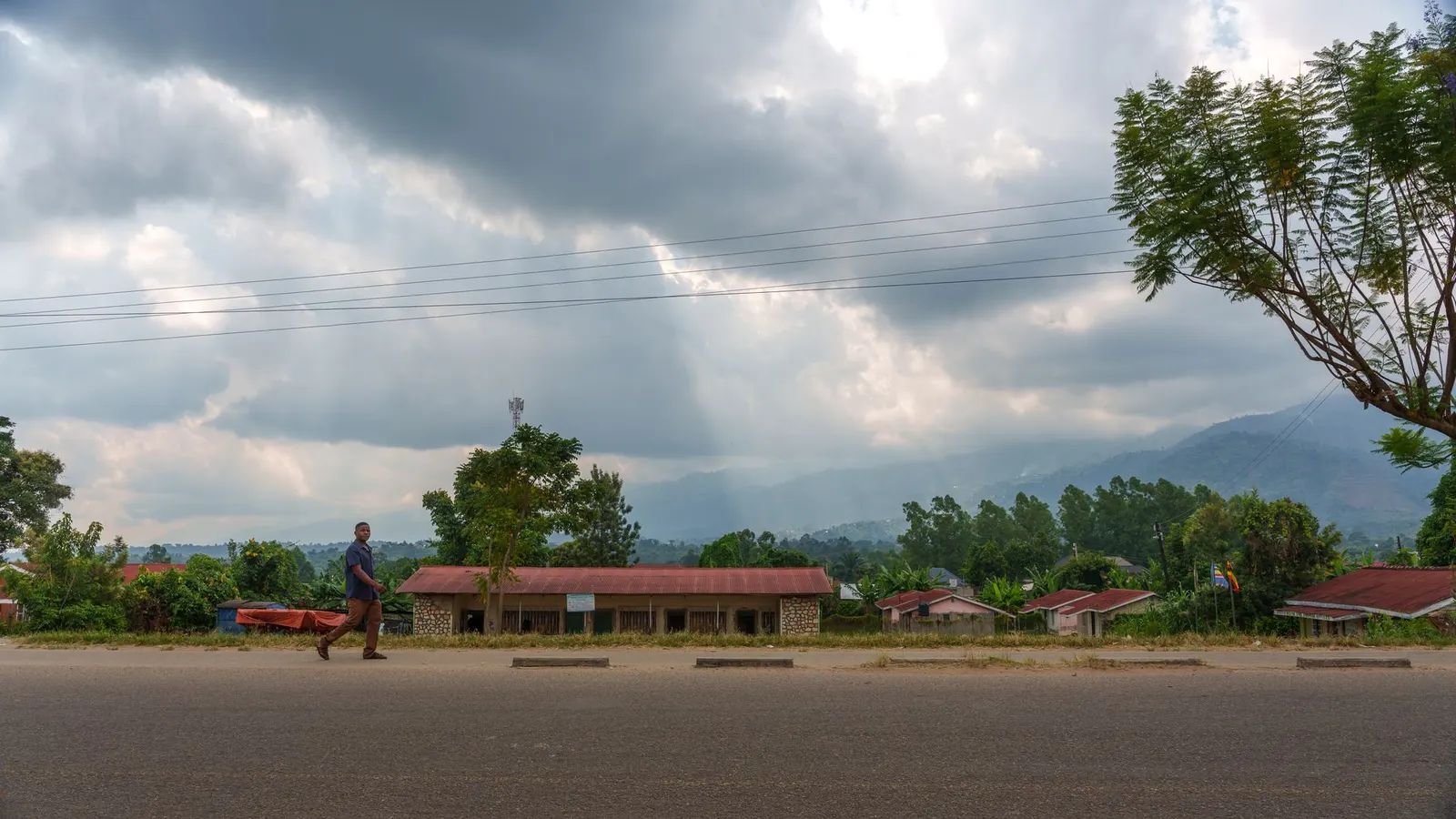
 Mwesigwa Joel · Pexels License
Itinerary · Africa · 15 days · Moderate
The Albertine Arc
Entebbe→Kampala→Jinja→Ziwa Rhino Sanctuary→Murchison Falls→Buligi circuit, Murchison Falls National Park+9 stops
From the drowned outlet of the Nile at Jinja to montane forest on the Congo border, following the western rift the whole way: Murchison Falls, where the entire river is squeezed through a gap about seven metres wide, chimpanzees at Kibale, the Kazinga Channel and the Ishasha fig trees, and one hour with a gorilla group in Bwindi. Fifteen days, a 4WD with a driver, and roughly two thousand kilometres of Ugandan road.
Entebbe
Land on the peninsula rather than in the city - Entebbe is quiet, forty kilometres from Kampala, and the better place to lose a day to the flight. The botanical gardens were laid out in 1898 and run down to the lake shore; the wildlife education centre next door began in 1952 as a reception point for confiscated animals and still works largely as one.
Kampala
Four kabakas of Buganda are buried at Kasubi under a domed thatch building held up by bundled reeds; it burned down in March 2010, burned again in 2020, and was rebuilt by the clans who have always maintained it - finished in 2023 and taken off UNESCO's in-danger list that September, which is the arrangement that makes the place a working royal site rather than a monument. Then the Uganda Museum, founded in 1908 and the oldest in East Africa, and the minaret of the national mosque on Old Kampala hill for the only view that shows you all the hills at once.
Jinja and the outlet
Speke stood at Ripon Falls on 28 July 1862 and declared the Nile solved. The falls are not there any more: the Owen Falls Dam closed in 1954 and put them under about three metres of water, and what you visit is a marker in the river where they used to be. Rafting still runs, but downstream - Bujagali's reservoir took the rapids the industry was built on in 2012, and the Isimba dam took part of the replacement stretch in 2019.
North to the rhino
A long transfer up the Gulu highway, broken at Ziwa. Uganda lost its last rhino in the early 1980s; the sanctuary here started again in 2005 with six animals, four from Kenya and two from a zoo in Florida, and the herd passed fifty in 2025. In January 2026 four of them went 220 kilometres north by road to Ajai Wildlife Reserve - the first rhino moved from one Ugandan protected area to another since the species was shot out of the country, with sixteen more meant to follow - so Ziwa is now the source population rather than the whole of it. You track them on foot with a ranger, which is the point - nothing between you and them but a hundred metres of grass and somebody who knows the individual animal by name.
Into Murchison
Through Kichumbanyobo gate and up to the top of the falls, where you walk the last few hundred metres and arrive at the edge of it. The Victoria Nile arrives here carrying the drainage of a lake the size of Ireland and is forced through a cleft about seven metres wide, dropping some forty-three metres. The noise arrives before the view does. Down to Paraa afterwards and across on the ferry.
The north bank and the boat
Out at first light onto the Buligi circuit between the Nile and the Albert delta - borassus palm savanna, Rothschild's giraffe, and the highest concentration of anything you will see on this route. In the afternoon take the boat upriver from Paraa to the base of the falls, three hours there and back, which puts you close enough to be soaked by it.
South to Hoima
Back across the ferry, out of the park and down to the Bunyoro capital, which is a short day and a useful one. Karuziika is the reigning Omukama's palace; Mparo, a few kilometres out of town, is where Kabalega is buried - he fought the British for most of the 1890s, was captured and exiled to the Seychelles in 1899, and died in 1923 at Jinja on the way home. The oil found under the Albertine graben in 2006 is being brought ashore in this district, and Hoima has the building sites to show for it.
Down to Fort Portal
Tarmac the whole way now: the Kyenjojo–Kabwoya road through Kagadi was finished in 2021 and this stopped being the worst leg of the route. Fort Portal sits under the Rwenzori with about fifty crater lakes scattered in the farmland south of it - the Ndali–Kasenda field, most of them a short walk off a track. Toro's palace stands on the hill above town; its Omukama was crowned in 1995 at the age of three.
Kibale
Report at Kanyanchu before eight. Kibale holds thirteen primate species and something like 1,500 chimpanzees, and tracking is a group of six behind a ranger for as long as it takes to find them, then one hour once you do. The afternoon walk at Bigodi is run by the village association that has managed the swamp since 1992, and it is the better birding of the two.
Queen Elizabeth
South past Kasese with the Rwenzori on your right, into the park at Katunguru and out onto the Mweya peninsula. The afternoon boat down the Kazinga Channel - thirty-two kilometres of water joining Lake George to Lake Edward - runs a couple of metres off a bank lined solidly with hippo, buffalo and whatever has come down to drink.
Kasenyi, Katwe and the run south
Dawn on the Kasenyi plains east of the channel, which is where the lions are. Katwe is the other way - out past Mweya on the western arm - so it costs the better part of an hour of doubling back, and it earns it: a crater lake worked for salt by hand since at least the sixteenth century, men and women standing in brine pans cutting blocks out of the crust, and a job whose cost is visible on the people doing it. Then back over the Katunguru bridge and south to Ishasha.
Ishasha to Buhoma
A morning circuit under the fig trees first - the Ishasha lions climb, which is not normal lion behaviour and is not fully explained, and you either find them draped over a branch or you do not. Then murram east and up into the forest. Buhoma is at the northern edge of Bwindi and the road arrives at the park gate.
Tracking
Briefing at the park headquarters at half past seven, then out behind trackers who went in at first light to pick up where the group nested. It can take forty minutes or it can take six hours, the ground is steep and wet and the undergrowth is the reason for the park's name, and hiring a porter at the trailhead is both sensible and the most direct way money reaches the village. One hour at the end of it, ten metres back, masks on.
Across the park to Bunyonyi
The road out runs through the forest by way of Ruhija, the highest sector at about 2,350 metres, where the Mubwindi swamp trail is the one place people reliably see African green broadbill. Then down to Lake Bunyonyi, where the terraces on the hills are Bakiga farmland cut to the waterline and the twenty-nine islands include Akampene, the one unmarried pregnant girls were abandoned on until the practice died out in the first half of the twentieth century. No crocodiles and no bilharzia, which makes it the one lake in the region people swim in.
Down the Masaka road
The long way home on the main highway through Mbarara and Masaka, with the Equator monument at Kayabwe about seventy kilometres short of Kampala. It is a nine-hour day and there is no honest way to make it shorter. If that does not appeal, the scheduled light aircraft out of Kisoro or Kihihi flies it in about ninety minutes and gives you the Rwenzori from above on a clear morning - but you still have to drive an hour and a half to the Kisoro airstrip, or nearer three to Kihihi, and the vehicle has to come back to Kampala either way, so the saving is time rather than money.
Good to know
A yellow fever certificate is required of every traveller aged one and over arriving in Uganda, and it is checked - carry the paper card, not a photograph of it. Malaria transmission covers the whole country including Kampala and Entebbe, so prophylaxis runs for the entire trip; Bwindi and Kabale are high and cool but not zero. Visas are bought in advance through the immigration portal and are not issued on arrival for most nationalities; if the trip continues to Kenya or Rwanda, the East Africa Tourist Visa at 100 dollars covers all three with multiple entries between them and is much better value than three singles. Gorilla permits are the thing to book first, before flights: 800 dollars for a foreign non-resident, minimum age fifteen, eight per habituated group per day, and - the part that catches people - sold per sector. Buhoma, Ruhija, Rushaga, Nkuringo and Mgahinga are separate trailheads and the road between the far ones takes four hours, so a permit bought for the wrong sector means either a wasted morning or a lodge change. June to September and December to February sell out months ahead. Chimpanzee permits at Kibale are 250 dollars and go the same way in high season. Since February 2026 both have a second, lower price - 600 dollars for the gorillas and 200 for the chimpanzees in April, May and November - and those low-season permits must be paid for at once and cannot be rescheduled. The discount is real, and so is the reason for it: all three months sit inside a wet season, which is the same thing that ruins the murram. Uganda Wildlife Authority park entry is charged per person per twenty-four hours plus a vehicle fee, and the clock starts when the gate writes your receipt - entering Murchison at four in the afternoon buys you a day you will pay for again the following afternoon. UWA has moved substantially to card and mobile money at the gates and dollars are no longer reliably accepted, so bring a Visa or Mastercard that works abroad and a backup. Self-driving the tarmac is straightforward; the park tracks, the Ishasha–Buhoma murram and the crater lake roads want real clearance, and the Paraa ferry across the Victoria Nile runs to a fixed schedule with a midday break, which is worth checking the evening before rather than at the ramp. The western half of this route runs close to the Congolese border, and that - not the animals - is the security question worth asking before you book: Allied Democratic Forces gunmen crossing from the DRC killed two tourists and their Ugandan guide inside Queen Elizabeth on 17 October 2023, which put the park under a British advise-against-travel warning until it was lifted after ranger escorts and drone patrols were put in. Mweya, Ishasha and Bwindi all sit within about thirty kilometres of that border. Read the advisories in the month you travel rather than trusting this paragraph, and take the escort wherever one is offered. The larger everyday risk on this route is not wildlife or rebels but driving after dark - unlit lorries, boda-bodas without lights, no verge - and this close to the Equator the sun goes down at about seven all year, so build the days to finish before it. The two wet seasons run roughly March to May and September to November: gorilla tracking runs regardless and Bwindi is wet in any month, but the murram sections and the tracks inside Murchison are what deteriorate. Tracking rules are enforced - ten metres from the animals, face masks required, and anyone with a cold is turned back at the briefing, because gorillas catch human respiratory infections and have died of them.
Shorter or longer?
Break the route at Kasese and walk into the Rwenzori instead of driving past it. The Central Circuit from Nyakalengija is seven to nine days and reaches Margherita Peak at 5,109 metres, which puts glaciers within half a degree of the Equator - wet, cold, technical at the top, and nothing like the rest of this trip.
Fly Entebbe to Kihihi, then Bwindi, Ishasha, Queen Elizabeth and Kibale, and drive back through Fort Portal. Keeps the gorillas, the chimpanzees and the Kazinga Channel; cuts Murchison, Hoima and both of the long highway days.
Practical guide
Visa check for this route
Budget
Mid-range · per person · sharing a double room. Excludes international flights - they depend on where you fly from.
Editorial estimates · checked August 2026
Country guides
Trip essentials
The connectivity placement is our own eSIM store. No affiliate link on this list. How we choose these →