 ZUMRAD NORMATOVA · Pexels License
Itinerary · Asia · 14 days · Challenging
The Panj and the Plateau
Dushanbe→Hisor→Iskanderkul→Haft Kul→Panjakent→Dushanbe+8 stops
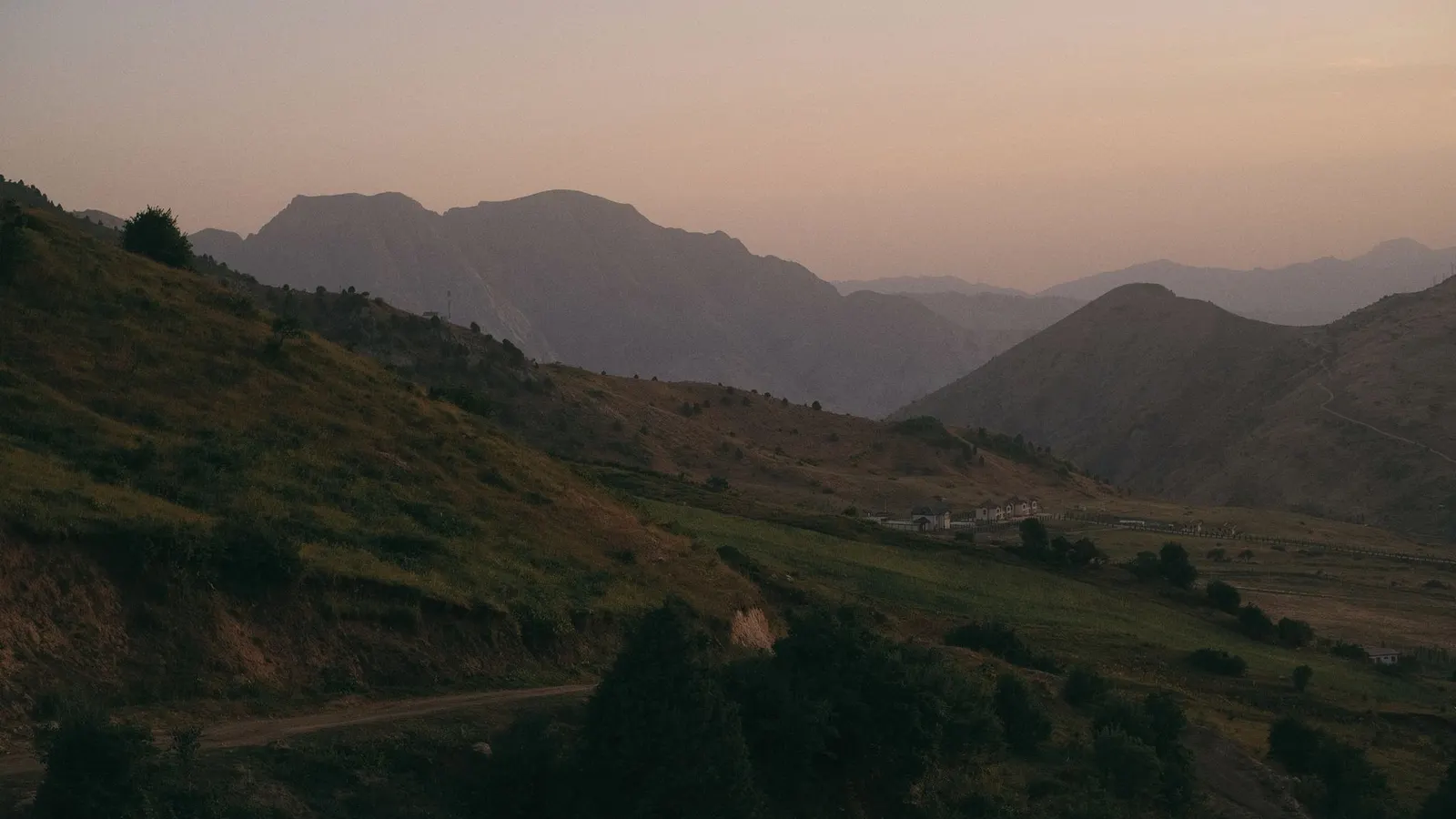
Two weeks from Dushanbe to the Chinese frontier by way of the Fann Mountains, the Panj gorge with Afghanistan on the far bank, the Wakhan fortresses, and the Pamir plateau above four thousand metres. A hired Land Cruiser, a GBAO permit and a short season.
Dushanbe
Arrive and do the paperwork first: confirm the GBAO permit, change money, and find the driver. Rudaki Avenue is the whole city in one street, and the National Museum of Antiquities at the end of it holds the Buddha in Nirvana - a reclining figure nearly thirteen metres long, moulded in clay, excavated from the monastery mound at Ajina Teppa in 1966 and reassembled here.
Hisor and the last day with a bank
Thirty kilometres west to the fortress at Hisor, where the gateway and the two madrasas facing it are sixteenth and seventeenth century and the walls behind them are a reconstruction. Back in the city, draw the cash for the rest of the trip: this is the last place with reliable ATMs until you are back.
North to Iskanderkul
Through the Anzob tunnel, five kilometres of it, which was opened unfinished in 2006 with no lighting or ventilation, earned a reputation that outlived the problem, and has been serviceable since the Iranian contractors rebuilt it. Beyond it the road drops into the Fann Mountains and a rough track climbs to the lake at 2,195 metres.
West to the Seven Lakes
Down to Ayni, then west along the Zerafshan and up the Shing valley, where seven lakes sit in a staircase of gorges and each one is a different colour for reasons to do with mineral content rather than magic. The road ends at Hazorchashma; the walking begins there.
Panjakent and Sarazm
Panjakent has the excavated shell of a Sogdian town on the bluff above it, abandoned after the Arab conquest of the 720s; its wall paintings are in Dushanbe and St Petersburg. Fifteen kilometres west, Sarazm is far older - a proto-urban settlement of around 3500 BC, trading turquoise and lapis, inscribed by UNESCO in 2010 as Tajikistan's first World Heritage site.
Back over the passes
A transfer day, retracing the Zerafshan and the Anzob tunnel. Use the afternoon in Dushanbe to buy what the Pamirs do not sell: batteries, a spare power bank, sun cream, painkillers and any medication you would be unhappy to be without for a fortnight.
The southern road to Kalaikhum
The long day. South-east past Nurek, where a 300-metre dam finished in 1980 was the tallest in the world for thirty-three years and still supplies most of the country's electricity, then through Kulob and east until the road meets the Panj and turns upstream. Afghanistan begins at the water and stays there for the next four hundred kilometres.
Up the Panj to Khorog
Six hours in a gorge with a river in it and a country on the other side - villages, donkeys, wheat terraces and men on motorbikes, all close enough to watch and entirely out of reach. The road is cut into the rock at river level for most of it and there are places where the two carriageways of the same valley, Tajik and Afghan, are forty metres apart.
Khorog, and the point of stopping
A day at 2,200 metres before going to twice that. The botanical garden above the town was founded in 1940 and is usually described as the second-highest in the world; the Pamir bazaar sells Chinese tyres and Afghan cloth; the University of Central Asia campus opened here in 2017. Eat properly, drink more water than you want, and sleep.
Into the Wakhan
South to Ishkashim, where the valley opens and the Hindu Kush appears behind the Afghan bank, then east to the fortress at Yamchun - third century BC to third century AD, a triangle of towers on a spur with the whole valley below it. The hot spring at Bibi Fatima is twenty minutes further up the same track, and separate hours are kept for men and women.
Vrang and Langar
A short day, which the altitude makes welcome. Above Vrang a terraced Buddhist stupa stands on the hillside with caves cut behind it, from the centuries when this valley carried the religion east. Langar is the last village before the road leaves the river, and the rocks above it carry thousands of petroglyphs - ibex, horsemen, hunters.
Over the Khargush onto the plateau
The climb out of the Wakhan on a washboard track to the Khargush pass at 4,344 metres, along the border fence and past Chukurkul, then down to Bulunkul and Yashilkul. Bulunkul is a dozen houses on gravel and holds the record for the coldest temperature ever measured in Tajikistan. Alichur, an hour on, is a Kyrgyz village of yurts and single-storey houses on a plain with no shelter in it.
Murghab
A short hop east to the largest settlement on the plateau: four thousand people at 3,650 metres, a bazaar built out of shipping containers, and Kyrgyz rather than Tajik as the language on the street. The afternoon is for a walk up the ridge behind the town, which is the acclimatisation you will need tomorrow.
Ak-Baital and Karakul
The high point of the M41 and of the trip: the Ak-Baital pass at 4,655 metres, the highest road pass anywhere in the former Soviet Union, on a stretch where engines lose a third of their power and nobody walks quickly. Beyond it the plateau flattens to a lake at 3,900 metres in what geologists read as a meteorite impact crater, with a village of a few hundred people on its eastern shore and the Chinese border on the ridge behind.
Good to know
Two documents, and they are not the same document. Check the current rule for your own passport first: the unilateral visa-free list was widened to seventy-seven nationalities on 1 May 2024 - the EU states, the United States, Canada, Australia, Japan and South Korea among them - who enter for thirty days, with registration required for stays over ten days. The United Kingdom is not on that list. British passports need the e-visa at evisa.tj, about $30 single entry, and British travellers have been turned back at Dushanbe airport for arriving without one. Visa-free entry does not include Gorno-Badakhshan. The GBAO permit is a separate authorisation covering everything east of Kalaikhum - it is a $20 add-on when you apply for the e-visa, and travellers entering visa-free cannot apply online at all: they get it from OVIR in Dushanbe in person, or pay an agency to queue for them. Allow a week either way, and check the permit actually names GBAO before you fly. Without it you are turned back at the checkpoint, and there are further document checks at Khorog, at the Wakhan junction and at Murghab. The permit does not cover Lake Sarez or the Zorkul reserve, which need their own authorisation, and the province itself can close: after the security operation in Khorog and Rushan in May 2022, foreigners were kept out for most of that season. Confirm permits are being issued before you buy a flight. Visa on arrival has been unreliable since 2025 and is not a plan. Season is the other hard limit: this route runs roughly late May to early October, because the Khargush pass and the Wakhan link over it are under snow from about November to April. The M41 itself is kept open all year - it is Murghab's only supply road and the freight route to Kyrgyzstan and China - but it blocks for days at a time in winter, and the shorter northern road from Dushanbe over the Khaburabot is closed for much of the year, which is why this itinerary takes the longer southern road through Kulob. The Panj road is an international border for four hundred kilometres - stay on the road, and do not photograph the Afghan bank or any Tajik border post. Altitude does the damage people underestimate: Murghab is 3,650 metres, Karakul 3,900, and there is no hospital of consequence between Khorog and Osh, so the two nights in Khorog are the cheapest insurance on the trip and evacuation cover with no altitude cap is the second cheapest. Cash only past Khorog: ATMs work in Dushanbe and Khujand, unreliably in Khorog, and nowhere at all beyond it, so carry somoni for the whole Pamir leg plus US dollars to change. Almost nobody drives this independently - the standard arrangement is a Land Cruiser and driver hired in Dushanbe, Khorog or Osh and split between three or four passengers, which is what the budget assumes.
Shorter or longer?
From Karakul it is sixty kilometres to the Kyzylart pass at 4,280 metres and the Kyrgyz border, then down to Sary-Tash and Osh - two or three more days, and the way most people finish the highway rather than driving the whole thing back. Confirm the crossing is operating and that your visa allows the exit before committing to it.
Dushanbe, Iskanderkul, the Seven Lakes, Panjakent and back. No GBAO permit, nothing above 3,000 metres, a season that runs from May into October, and it can be done on shared taxis for a fraction of the cost - the trade is that you never see the Panj.
Practical guide
Visa check for this route
Budget
Mid-range · per person · sharing a double room. Excludes international flights - they depend on where you fly from.
Editorial estimates · checked August 2026
Country guides
Trip essentials
The connectivity placement is our own eSIM store. No affiliate link on this list. How we choose these →